Agricultural Drone Services
Agricultural Drones and Data Mapping with Drone Logistics
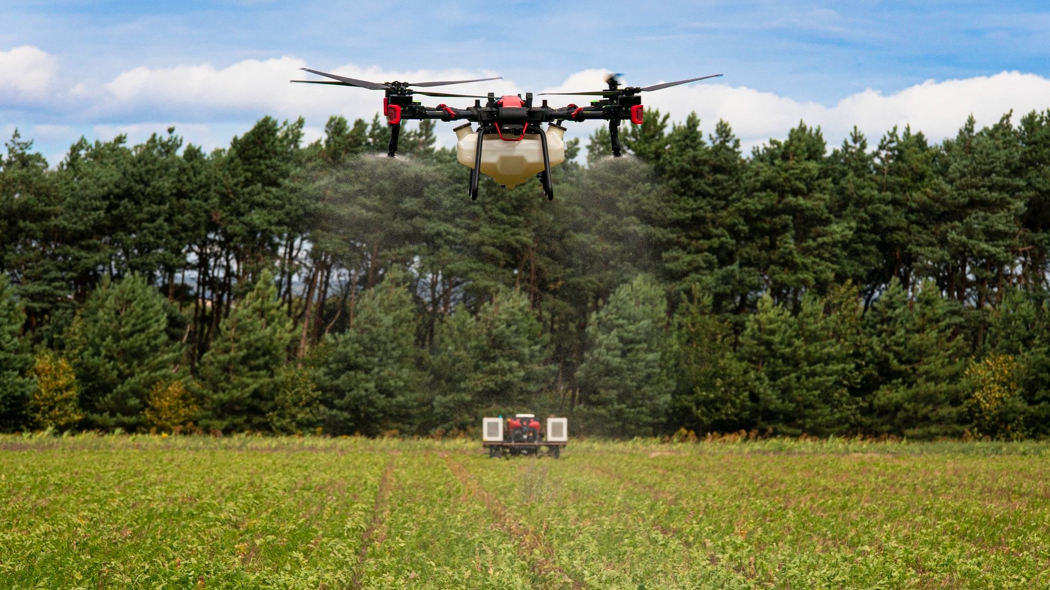
Drone Logistics provides advanced agricultural drone and data mapping services to help farmers, landowners, and rural businesses make smarter, more informed decisions.
From crop health monitoring and soil analysis to field mapping, stockpile measurement, and precision planning, our expert drone pilots deliver accurate insights that save time, reduce costs, and boost productivity.
Based in Cornwall, we serve the entire South West, including Devon, Somerset, and beyond—bringing cutting-edge aerial technology to farms, estates, and agricultural enterprises across the region.


Our Mission
We’re passionate about delivering high-quality aerial data and mapping solutions that make a real difference to farms, estates, and rural businesses. Based in Cornwall, we use the latest XAG drones and DJI 360° imaging technology to capture precise, reliable aerial footage - whether for crop analysis, land surveying, or infrastructure inspections.
Our mission is simple: to go above and beyond in helping you manage your land more efficiently, safely, and sustainably.